Surveying plays an important part in many aspects of town planning. Whether it is deciding the routes of a major infrastructure project or a small house extension, surveys are used by architects, engineers and planners to establish a plan.
When a master plan is developed, it should show the hierarchy of streets and pedestrian and cycle paths as well as public transport and freight routes. It should also ensure appropriate housing density and diversity.
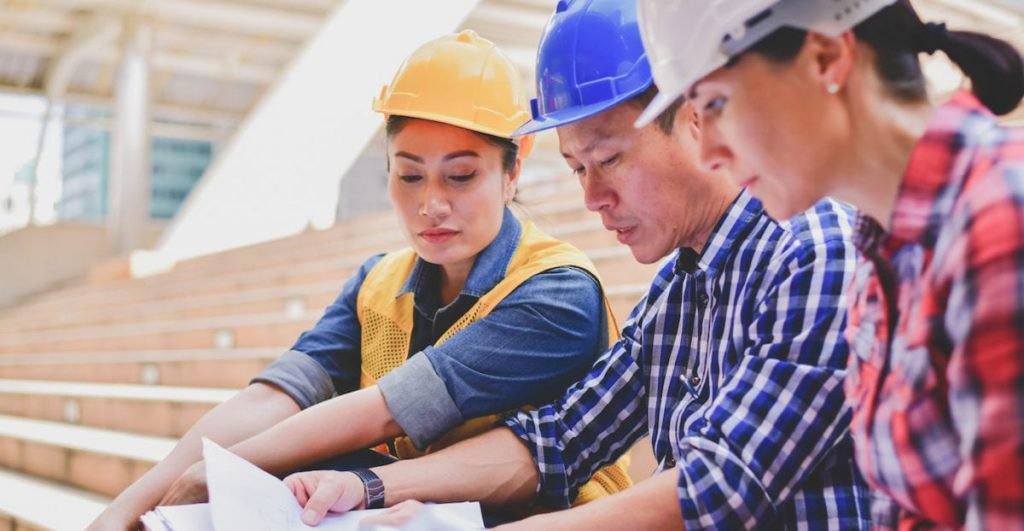
1. Identifying the Issues
Town planning involves the organization of various complicated activities that are vital for a city’s growth and development. This includes the provision of proper housing facilities, arrangement of transport and communication, and setting apart space for industries, parks and public places including burial sites.
It also deals with the planning of land use and agriculture. The aims and objectives of planning are to make the city more comfortable, convenient and sanitary.
Surveys are essential to effective town planning. They help to identify the issues that can affect your community’s future and allow you to target services more effectively.
2. Developing a Plan of Action
Surveying is a key component of effective town planning. It helps determine the true boundaries of land use zones, which reduces the probability of building over the boundary or accidentally digging up gas/water or electricity lines. It also ensures roads or bridges are built along the right route and contour rather than randomly carried out with unknown risks.
A well-planned survey of an area in a community can offer interested stakeholders a useful tool for data collection and analysis, as well as the ability to make informed recommendations on community development goals. The key to a successful survey plan is defining the boundaries of the study area, as well as selecting specific indicators that will be used for evaluation.
Then, it’s time to create an action plan that outlines the steps you’ll take to achieve your goal. This should include a list of tasks, task owners, deadlines, resources, and other important information.
3. Developing a Strategy
Developing a strategy for your town planning project involves understanding what needs to be done and how you’ll achieve it. Town planners can help you contextualise your development plans and dreams against the reality of your property and surrounding areas to make sure they meet all local council regulations and policies.
The ability to accurately measure a site is important for ensuring that any development will comply with building codes and town planning policies. For example, if you’re subdividing a block and adding on rooms and homes, you need to know that everything will fit within the boundaries.
Surveying can also ensure that any new infrastructure is installed in the right place and avoids any unknowen risks or disputes over land ownership. For instance, it minimises the risk of accidentally digging up gas/water or electricity lines.
4. Developing a Budget
The budget process is critical to all governmental entities, as it provides the legal authority for spending and the ability to monitor the financial activity of the entity. It also serves as a communication tool that communicates the goals of the city or town and how that translates into expenditure decisions.
A well-developed budget will have a clear, defined budgeting process that makes all key steps visible and clearly understood on an annual and month-by-month basis. This includes having a budget calendar and timelines that clearly identify deadlines, milestones, required action items and involved personnel.
A variety of budgeting approaches and formats have evolved to meet the needs of a growing number of governments. These include line-item, performance, program and planning, site-based, and zero-based budgeting.
5. Developing a Schedule
Surveying is a science that involves assessing the shape, location and condition of a piece of land. It is a critical aspect of town planning as it helps architects and engineers understand the property they are working on.
The most common method for this is through a topographic survey. It can also be done using 3D laser scanning technology, which is an excellent way to accurately measure the exact position of buildings and other structures.
Once the survey has been completed, it is important to develop a schedule. This will help you plan and coordinate all the tasks involved in your project. It will help you avoid any problems or roadblocks that may come your way and can save you a lot of time.